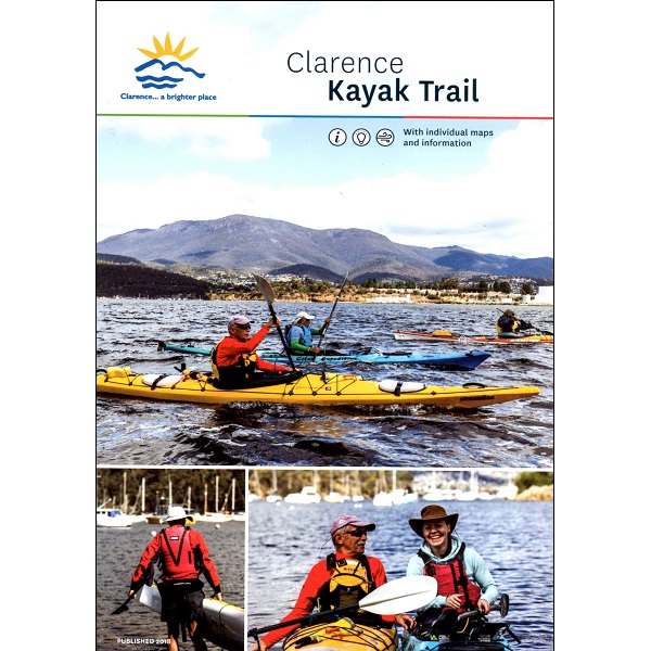
Description
Clarence Kayak Trail Map
The Clarence Kayak Trail Map is a small, waterproof map and guide to southern Tasmanian waters.
This map features 8 separate maps of suggested kayaking routes ranging from Risdon to Seven Mile Beach. All routes are of varying distance and are graded according to length and the type of water encountered.
Routes:
- Risdon to Little Howrah Beach
- Little Howrah Beach to Rokeby Beach
- Rokeby Beach to Gorringes Beach/Eastern Bezzants Road
- Rokeby Beach to Opossum Bay
- Opossum Bay to South Arm
- South Arm to Cremorne
- Cremorne to Lauderdale
- Lauderdale to Seven Mile Beach and Sandy Point
The map also features handy information on safety, gear checklists and general kayaking tips and best practices.