Shop
Showing 1–48 of 5566 resultsSorted by popularity
-

Tasmania Visitors Road Map
$5.00Edition: 2026 Folded Size 23cm x 14cm Unfolded Size 68cm x 93cm Publisher TASMAP -
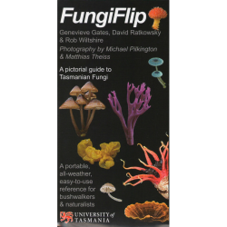
Fungiflip
$17.99Published: Revised 2018 Format: Flip Book/Poster Finish: Laminated -
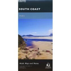
South Coast Track Map and Notes
$13.95Edition: 2023 Datum: GDA94 Scale: 1:100,000 -

Pooflip
$17.99Published: 2018 Format: Flip Book/Poster Finish: Laminated -

3D Tasmania Relief Map
$180.00Size: 670mm x 870mm Scale: 1:550,000 Available framed (Pictured – collect in store only) $400 -

Shikoku Japan 88 Route Guide
$39.99Published: 10th Edition, Aug 2025 Size: 13cm x 18cm x 1cm Pages: 192, Paperback Language: English Features: Separate fold-out map included EAN: 1922325018005 -
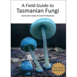
Field Guide to Tasmanian Fungi
$55.00Authors: Genevieve Gates & David Ratkowsky -
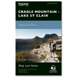
Cradle Mountain Lake St Clair Map – Waterproof
$16.95Production Year: 2025 Datum: GDA2020 Scale: 1:100,000 The Cradle Mountain Lake St Clair Map is a waterproof edition of Tasmap’s most popular production and is designed to be the one map required for the entire Overland Track.
-

Eucaflip
$17.99Format: Fold-out poster Finish: Laminated -

Treeflip
$17.99Published: Jan 2015 Format: Flip Book Finish: Laminated -
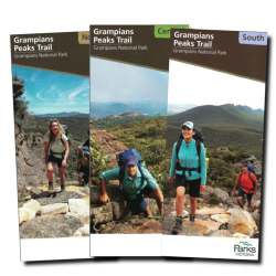
Grampians Peak Trail Map Pack
$27.00Scale: 1:50,000 -
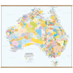
AIATSIS Wall Map of Indigenous Australia – Small
$20.00Publisher: AIATSIS Size: A1 (841mm x 594mm) -
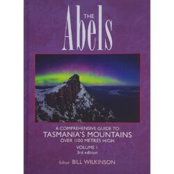
The Abels, Volume 1
$40.00Edition: 3rd Edition 2022 Format: Soft Cover -

Larapinta Trail Map Pack
$50.00Publisher: NT Govt Edition: 8th Edition, 2025 -
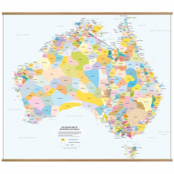
AIATSIS Wall Map of Indigenous Australia – Large
$30.00Publisher: AIATSIS Size: A0 (120cm x 84cm) -

4WD Tracks in Tasmania
$45.00Year 2019 Edition 5th Author Chris Boden -

The Ever Varying Flood: Franklin River Rafting Guide
$35.00Author: Peter Griffiths & Bruce Baxter Published: 2nd Edition 2010 Pages: 92 – Paperback -
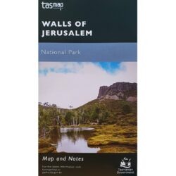
Walls of Jerusalem National Park Map
$13.95Year: 2025 Scale: 1:25,000 Datum: GDA20 TASMAP Ref: NPWALLS -
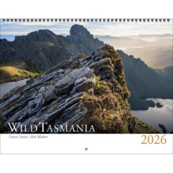
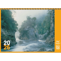
Wild Tasmania Calendar 2026
$34.95Size: 34.5cm x 27cm, spiral bound -
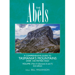
The Abels Volume 2, Part A
$49.99Part A, (Sections 6 & 7) Edition: 2nd Edition, 2022 Editor: Bill Wilkinson Published: 2022 Format: Softcover -

Field Magnifier
$16.00 -
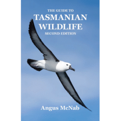
The Guide to Tasmanian Wildlife
$49.95Author: Angus McNab Published: 2nd Edition, 2022 Pages: 396 Paperback -

Tasmania State Road Map
$16.00Waterproof Production Year: 4th Edition 2021 Publisher: Hema Scale: 1:480,000 Size Folded: 25cm x 14cm Size Unfolded: 100cm x 70cm -
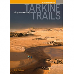
Tarkine Trails
$40.00Author: Phill Pullinger Publisher: Bob Brown Foundation Edition: 3rd Edition 2022 -
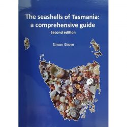
Seashells of Tasmania: A Comprehensive Guide
$37.00Author: Simon Grove Published: 2nd Edition 2019 Pages: 82 -
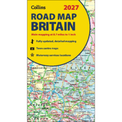
Collins Britain Road Map 2027
$22.00Publisher: Collins Size folded: 140mm x 245mm x 11mm Size unfolded: 116cm x 96cm -
Wilderness Society Calendar 2026
$30.00Size: 33cm x 24cm Format: 1 Month Per Page Limited stock! -

Abel Mountains Wall Map
$60.00Size: 92cm x 108cm Image Size: 88cm x 104cm Design: Geographica Produced by: FlatEARTH Mapping Framed Pinboard: $220 (phone orders – collect in store) -

Eat More Wild Tasmanian
$64.99Author: Erin Rees Published: 2022 Pages: 298, Hardcover -
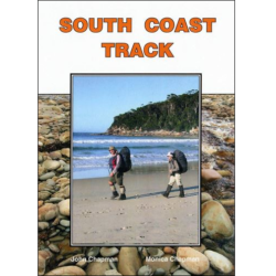
South Coast Track Guide
$19.95Edition: 2nd Edition Published: October 2017 Author: John and Monica Chapman -

Tasmania’s Natural Flora
$95.00Editor: Christine Howells Published: 3rd Edition 2021 Size: 18cm x 23cm x 3cm -
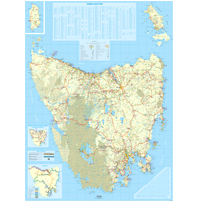
Tasmania Large Wall Map 1:250k
$200.00Publisher: TASMAP Published: 6th Edition 2020 Size: 133cm x 188cm -
Europe Planning Map
$19.99Publisher: Lonely Planet Size (unfolded): 90 cm x 57cm Published: 2017 -

Touring Tasmania’s Back Roads Guide
$45.00Author: Chris Boden Pages: 186, Spiral Bound Published: 2022 -
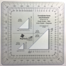
Military Protractor MGRS/UTM
$19.99Size: 12.5cm x 12.5cm -

Port Davey Marine Reserve Visitors Guide and Map
$24.95Published: Mar 2017 Publisher: DPIPWE Format: Guidebook, Map, & DVD -
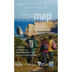
Great Ocean Walk Map
$16.95Publisher: Parks Victoria Published: 6th Edition, 2019 Size Folded: 23.5cm x 14.5cm Size Unfolded: 100cm x 70cm -
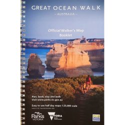
Great Ocean Walk Guide Book
$20.00Publisher: Parks Victoria Pages: 33, Spiral Bound -

Grampians Peak Trail North Map
$10.00Publisher: Parks Victoria Edition: Revised March 2022 Scale: 1:50,000 -
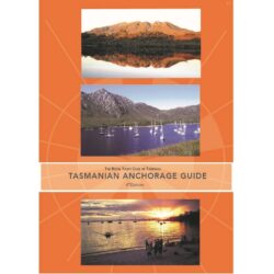
Tasmanian Anchorage Guide
$75.00Edition: 6th Production Date: 2023 Publisher: RYCT -
Tasmania Visitors Map – Flat
$20.00Publication Date: 2022 Unfolded Size 68cm x 93cm Publisher TASMAP -

Western Arthur 1:50,000 Topo Map
$13.95Edition: 2nd Edition, 2022 Sheet No: TR06 Datum: GDA94 Scale: 1:50,000 -
Japan Adventure Travel Map 3023
$22.00Publisher: National Geographic Published: 2023 Size Folded: 23cm x 10.4cm Size Unfolded: 95.8cm x 64.7cm -
Frenchmans Cap Walk Map
$7.95Production Year: 2021 Datum: GDA94 Scale: 1:50,000 -
River Murray Charts: Renmark to Yarrawonga
$32.00Author: Maureen Wright Edition: 8th Edition, Updated 2022 Size: Spiral-bound, A4 -

Gin Pennant
$45.00Size: 600mm x 300m Material: Printed on Woven Polyester Features: Flag clips included and attached -

Victorian Bike Paths & Rail Trails
$26.99Author: bikepaths.com.au Pages: 178 Spiral Bound Size: 12cm x 21cm Edition: 9th Edition 2020 -
Tasman Peninsula Walks Map
$7.95Published: 2024 Datum: GDA94 Scale: 1:50,000