Description
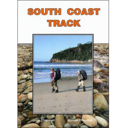
South Coast Track Map and Notes
The Port Davey and South Coast tracks lie within the Tasmanian Wilderness World Heritage Area and are part of the Southwest National Park. The South Coast Track Map and Notes help take the visitor to the southern extremity of an island at the world’s end. This is wilderness.
This map highlights the walking tracks and features tourist information, along with general topographic detail in a 1:100,000 scale.
The main map features the entire South Coast Track on the one page. The reverse side covers the Port Davey Track to Scotts Peak Dam, as well as notes introducing visitors to the vegetation, land forms, animals, history of the area, bushwalking tips and safety.
The Port Davey Track is 70 km in length and used by walkers between Scotts Peak Road and Melaleuca. The South Coast Track is 85 kilometres in length and used by walkers between Cockle Creek and Melaleuca. There are no roads to Melaleuca; walkers must either fly, sail or walk in and out. The Port Davey Track starts from the Huon Campsite, near the end of the Scotts Peak Road. This is reached via Maydena and Frodshams Pass, approximately 2 to 3 hours drive west of Hobart.
For information on the Port Davey Track, Click Here