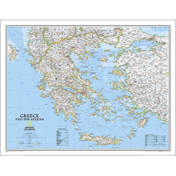
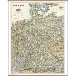
Description
Europe Executive Wall Map (Enlarged)
The Europe Executive Wall Map is a striking example of the cartographic excellence National Geographic is known for. The antique colour palette, shaded relief, and easy-to-read fonts make this map both beautiful and functional.
International boundaries are clearly defined and thousands of place names, waterbodies, airports, major highways and roads, national parks and more are included.
The countries and major cities shown include: Albania, Armenia, Austria, Azerbaijan, Belarus, Belgium, Bosnia & Herzegovina, Bulgaria, Croatia, Cyprus, Czech Republic, Denmark, Estonia, Finland, France, Georgia, Germany, Greece, Hungary, Iceland, Ireland, Italy, Kosovo, Latvia, Liechtenstein, Lithuania, Luxembourg, Macedonia, Moldova, Montenegro, The Netherlands, Norway, Poland, Portugal, Romania, Russia, Serbia, Slovakia, Slovenia, Spain, Sweden, Switzerland, Turkey, Ukraine, and the United Kingdom.