Charts
Geographica is the chart distribution agent in Hobart for the Australian Hydrographic Office. We can supply your charts as flat paper or laminated. Bulk discounts apply on laminated charts.
Showing all 47 results
-

AUS 143 Chart – VIC – Port Phillip
$40.00 -
AUS 144 Chart – Victoria – The Rip
$40.00 -
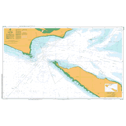
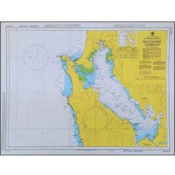
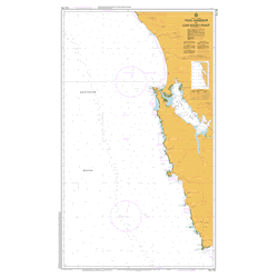
AUS 163 Chart – TAS – Approaches to Burnie
$40.00 -

AUS 164 Chart – TAS – Approaches to Devonport
$40.00 -

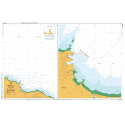
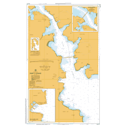
AUS 167 Chart – TAS – Port Dalrymple
$40.00 -
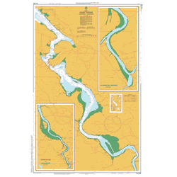
AUS 168 Chart – TAS – River Tamar – Long Reach to Launceston
$40.00 -
AUS 170 Chart – TAS – Mercury Passage
$40.00 -

AUS 171 Chart – TAS – Hobart to Norfolk Bay
$40.00A popular chart for mounting with Tas Oak hangers or framing.
-
AUS 172 Chart – TAS – Port of Hobart (WITHDRAWN)
$40.00 -
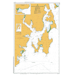
AUS 173 Chart – TAS – D’Entrecasteaux Channel
$40.00$300 Framed – collect in store
-
AUS 174 Chart – (Withdrawn)
$40.00 -

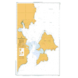
AUS 176 Chart – TAS – Port Davey including Bathurst Harbour
$40.00 -
AUS 177 Chart – TAS – Macquarie Harbour
$40.00 -
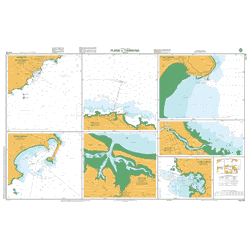
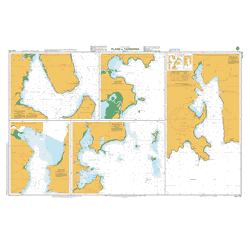
AUS 178 Chart – TAS – Plans in Tasmania (Sheet 2)
$40.00 -

AUS 179 Chart – TAS – Plans in Tasmania (Sheet 1)
$40.00 -
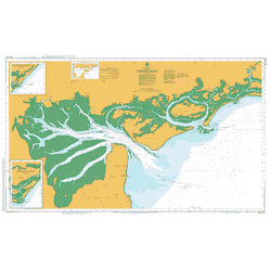
AUS 181 Chart – VIC – Corner Inlet
$40.00 -

AUS 192 Chart – NSW – Twofold Bay
$40.00 -

AUS 193 Chart – NSW – Approaches to Jervis Bay (WITHDRAWN)
$40.00 -

AUS 195 Chart: NSW – Approaches to Port Kembla
$40.00 -

AUS 196 Chart – NSW – Port Botany
$40.00 -

AUS 200 Chart – NSW – Port Jackson
$40.00 -

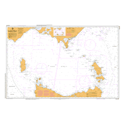
AUS 4074 Chart – Southern Ocean – Cape Darnley to Tasmania
$40.00 -
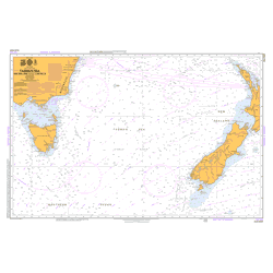
AUS 4601 Chart – South Pacific Ocean – Tasman Sea – New Zealand to SE Australia
$40.00 -

AUS 4602 Chart – Australia to Northern NZ and Fiji
$40.00 -

AUS 4604 Chart – South Pacific Ocean – Coral and Solomon Seas and Adjacent Seas
$40.00 -
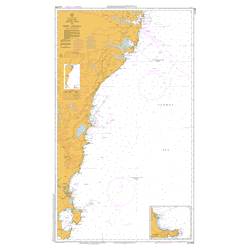
AUS 487 Chart – Bass Strait
$40.00 -
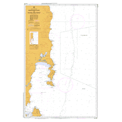
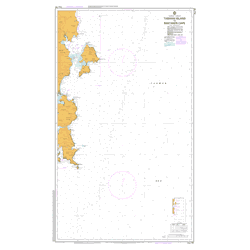
AUS 766 Chart – TAS – Mistaken Cape to Wardlaws Point
$40.00 -

AUS 767 Chart – TAS – Wardlaws Point to Eddystone Point
$40.00 -
AUS 789 Chart – TAS – Bass Strait – King Island (Withdrawn)
$40.00 -
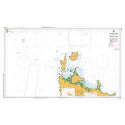
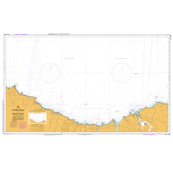
AUS 790 Chart – TAS – Stokes Point to Rocky Cape
$40.00 -

AUS 791 Chart – TAS – West Point to Granville Harbour
$40.00 -
AUS 792 Chart – TAS – Trial Harbour to Low Rocky Point
$40.00 -

AUS 793 Chart – TAS- Low Rocky Point to South West Cape
$40.00 -

AUS 794 Chart – TAS – South West Cape to South East Cape
$40.00 -
AUS 795 Chart – TAS – South Cape to Storm Bay
$40.00 -

AUS 796 Chart – TAS – Tasman Head to Cape Frederick Hendrick
$40.00 -
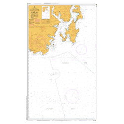
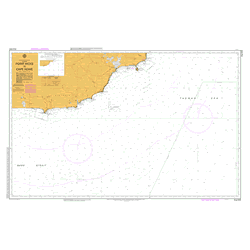
AUS 797 Chart – TAS – Tasman Island to Mistaken Cape
$40.00 -

AUS 798 Chart – TAS – Eddystone Point to Stony Head
$40.00 -
AUS 799 Chart – TAS – Stony Head to Rocky Cape (Withdrawn)
$40.00 -
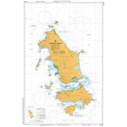
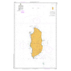
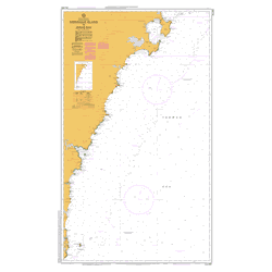
AUS 800 Chart – TAS – Furneaux Group
$40.00 -
AUS 805 Chart – VIC – Point Hicks to Cape Howe
$40.00 -

AUS 806 Chart – NSW – Cape Howe to Montague Island
$40.00 -
AUS 807 Chart – NSW – Montague Island to Jervis Bay
$40.00 -
AUS 808 Chart – NSW – Jervis Bay to Port Jackson
$40.00 -

AUS 817 Chart – Queensland – Great Sandy Strait and Hervey Bay
$40.00 -

Sydney to Hobart Yacht Race Chart Set
$400.00 -
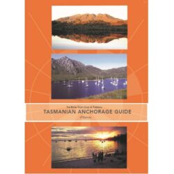
Tasmanian Anchorage Guide
$75.00Edition: 6th Production Date: 2023 Publisher: RYCT